Poaching, climate change, rapid habitat loss and environmental degradation have led to a massive population decline and the complete extinction of many species in recent decades. Therefore, tracking remaining individuals of wild animals is extremely important — the analysis of their behavior and migration routes will allow taking measures that will help protect them from extinction. One of the most promising methods of animal tracking is the analysis of satellite images and data collected by orbiters. Remote sensing data can then be used to inform conservation decisions and help protect vulnerable species and habitats, including birds, which is especially important considering climate change.
The Impact Of Climate Change On Birds
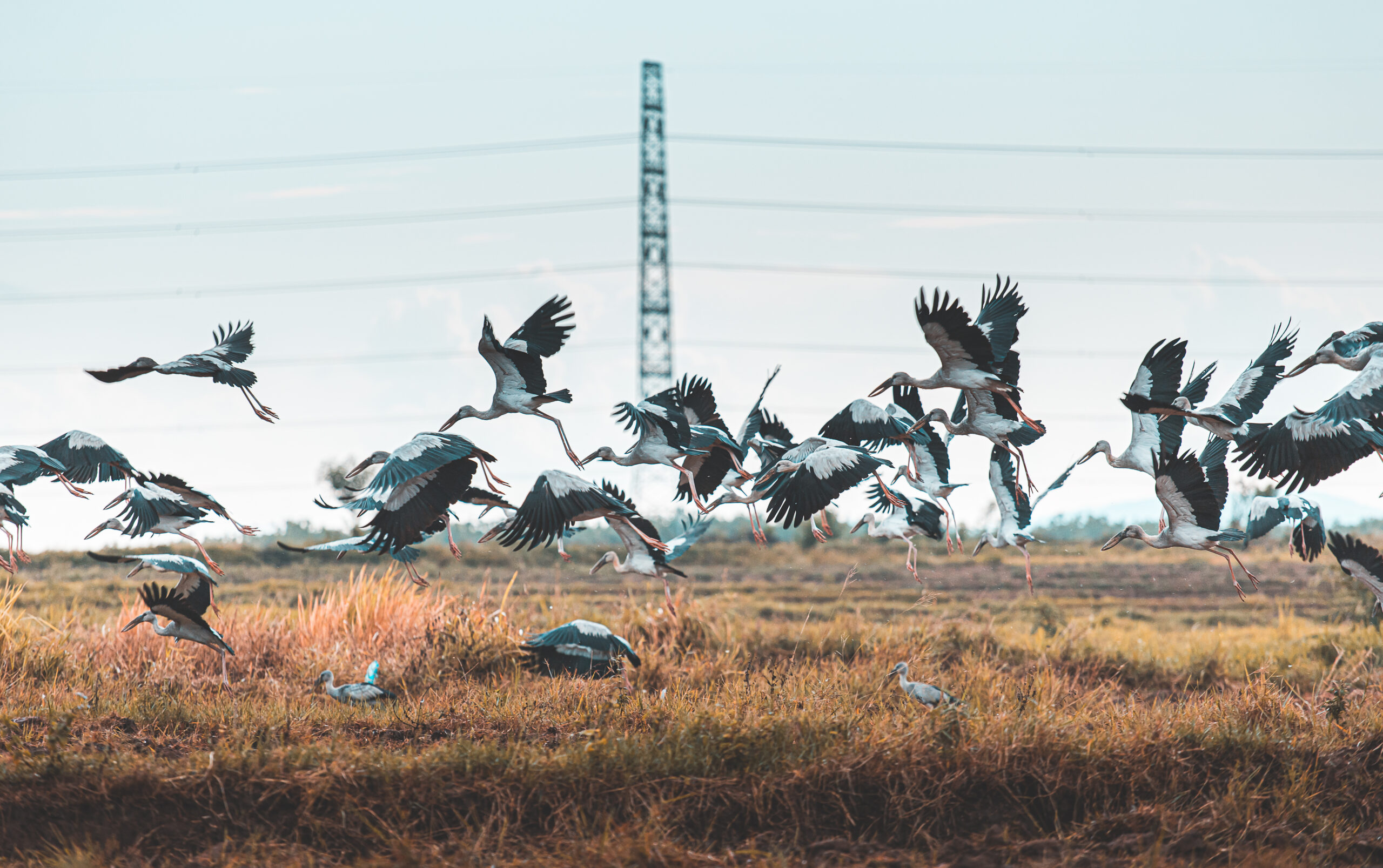
Environmental crises caused by global climate change have also led to changes in the routes and timing of migratory birds. Millions of birds around the world migrate year-round, crossing oceans and continents in search of food and comfortable habitat. About 40 percent of all bird species migrate regularly. With the help of modern technology, including satellite remote sensing, we can see that global warming has a negative impact on millions of living creatures, including migratory birds. The lives of migratory birds are tied to aquatic ecosystems.
The vast majority of migratory birds rely on water throughout their lives. These birds use wetlands for feeding, nesting and resting before their long-distance flight. And as land temperatures rise, the spring season comes earlier than usual, so migratory birds often have to start migrating earlier than usual.
Some bird species are less able than others to adapt to climate change, so they miss out on opportunities to breed normally. The sudden change in weather puts birds migrating south in the fall at risk. Because of climate change, the migration period becomes longer, approaching the end of fall. At the same time, the sudden onset of cold weather leads to the death of these birds.
What Is Remote Sensing?
Remote sensing of the Earth (ERS) is the process of obtaining information about the surface and subsurface of the Earth by observing and measuring from outer space the natural and reflected radiation of land, ocean and atmospheric elements.
Remote sensing spacecraft are used for monitoring natural resources of the Earth, solving problems of meteorology, and are also used in agriculture, geodesy, cartography, land and ocean surface monitoring.
The most well-known and easily accessible remote sensing data are images taken in the visible light range. There is other data, which includes several spectral channels. By comparing and combining data from different channels it is possible to obtain important data on certain phenomena on the Earth’s surface which cannot be detected with a human eye.
Multispectral images are most often used in environmental studies as the most informative ones. Some of them are available in free access, the others only on contractual basis. The cost of such images depends on their specific characteristics.
Using Remote Sensing For Bird Conservation
Remote sensing systems are commonly used to track the locations and movements of large animals such as whales, elephants, and endangered bird species. Such satellite monitoring systems usually include small, lightweight tracking devices that are attached to animals and transmit data about their movements. These data can then be used to create detailed maps of the animals’ movements over time, allowing researchers to better understand their behavior and habitat needs. By analyzing satellite images, researchers can identify changes in vegetation and determine areas of deforestation, which can be used to make conservation decisions and direct resources to areas in need of protection.
For example, large-scale tree felling drastically alters animal habitat. For most forest-dwelling bird species adapted to living among woody and shrubby vegetation, such a sudden change in the ecological situation is destructive. Few forest birds settle on a newly formed clearcut. At the same time, a fresh clearcut is a convenient nesting place for open space birds. Luckily, advanced remote sensing offers digital solutions for forest monitoring and management, enabling researchers and scientists to detect and map possible bird habitats or their endangerment based on vegetation data in a particular area, including tree types and deforestation detection.